
Walk an Oro Valley Street
A street directory search works best as a chain of small checks. Start with one valid address on the target block. The Pima County Assessor supplies its parcel key and present owner record. PimaMaps then puts that parcel in physical order with corner lots and parcels across the road. Deeds add dated title parties. Town and county permit files add work tied to the site. A voter list is not an open street roster in Arizona, while a historical criss-cross directory can identify listed occupants for a year its coverage includes.
- Search the full address in the Assessor portal. Save the parcel number, situs, jurisdiction, owner, mailing address, subdivision, and legal description.
- Open the result in PimaMaps. Zoom to parcel boundaries and click the next lots in map order, including corner parcels.
- Use a recorded-document number or owner and date in the Recorder portal. Read the deed image and confirm the legal description.
- Check the Town SmartGov customer portal and older county permit cards for dated work at each address.
- For a past household, ask the library for the right reverse-directory year and keep that evidence distinct from ownership.
This flow turns an Oro Valley street into a sourced worksheet. It does not turn clues into claims. Mark the source date beside each Oro Valley result, since a current parcel card and an older deed answer different questions.
Oro Valley Street Search Fields
The Pima County Assessor Parcel Search accepts more than a polished mailing address. Its routes help when the street suffix, punctuation, city label, or displayed form does not match. The county advises dropping punctuation and, when needed, the suffix. An owner can be a person, trust, estate, firm, or association, so preserve the indexed form rather than shortening it.
| Assessor route | Input form | Best street use |
|---|---|---|
| Parcel, Address, or Name | Combined text and autocomplete | Quick start from one known site |
| Property address | Situs address text | Find a physical parcel by address |
| Parcel code | Parcel identifier | Return to the exact parcel without relying on street form |
| Map and plat | Map or plat identifiers | Bridge a subdivision and lot to the roll |
| Recorded document | Recording identifier | Connect a deed reference back to a parcel |
| Subdivision or map | Name, list, or browse mode | Scan a development when addresses vary |
The official Pima parcel-search instructions show how Oro Valley parcel keys and address forms connect.
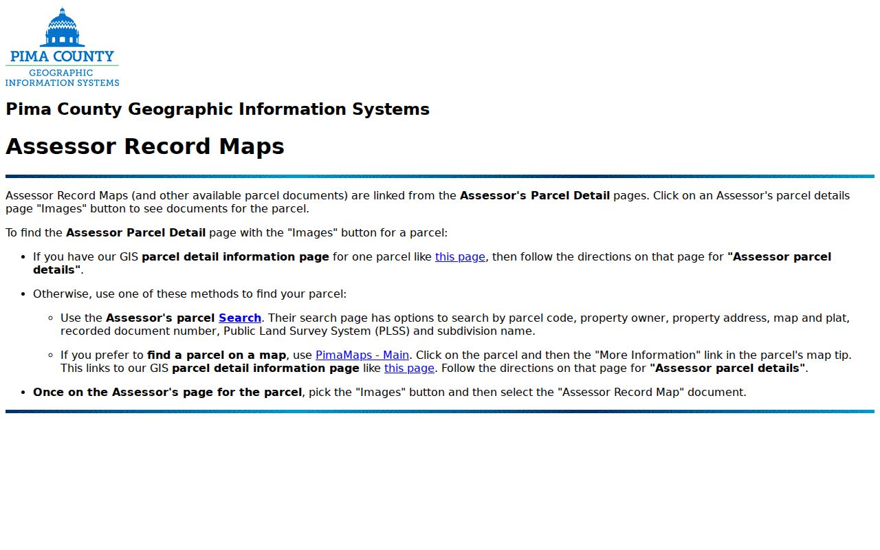
The captured instructions are useful when an exact street query returns no match. A parcel identifier is the safer key once found.
Browse Oro Valley Streets in PimaMaps
PimaMaps searches owner, address, intersection, or parcel in its upper-right box. A result appears in the left pane. Selecting it zooms to a pin, and clicking the parcel opens a card. The More Information link can reach Assessor details, the subdivision plat, building permits, imagery, and zoning. Layers also include parcels, outdoor-lighting areas, fire districts, floodplains, topographic grades, wastewater infrastructure, and aerial images. Some appear only after a closer zoom.
The county's PimaMaps site-information guide documents the map workflow and layer controls.
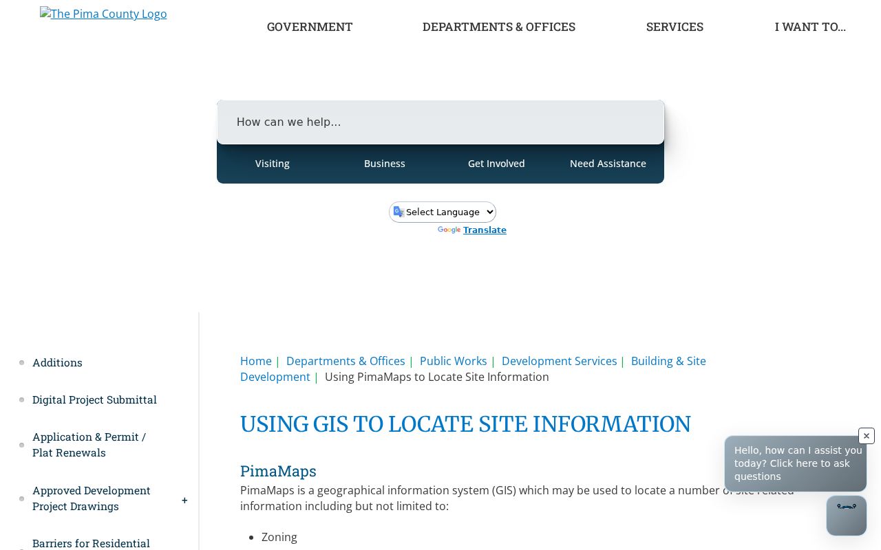
Move parcel by parcel instead of assuming evenly spaced Oro Valley street numbers represent every lot. Multi-address sites and corner parcels can break that pattern.
Read Oro Valley Address Fields
One property can carry several address concepts. The Pima County situs-address guidance separates the physical parcel location from jurisdiction, postal city and ZIP information, and the owner's tax-mail destination. A postal city is a delivery label. It does not decide whether Town or county rules apply. The Assessor's mailing field shows where tax correspondence goes, not who occupies the site.
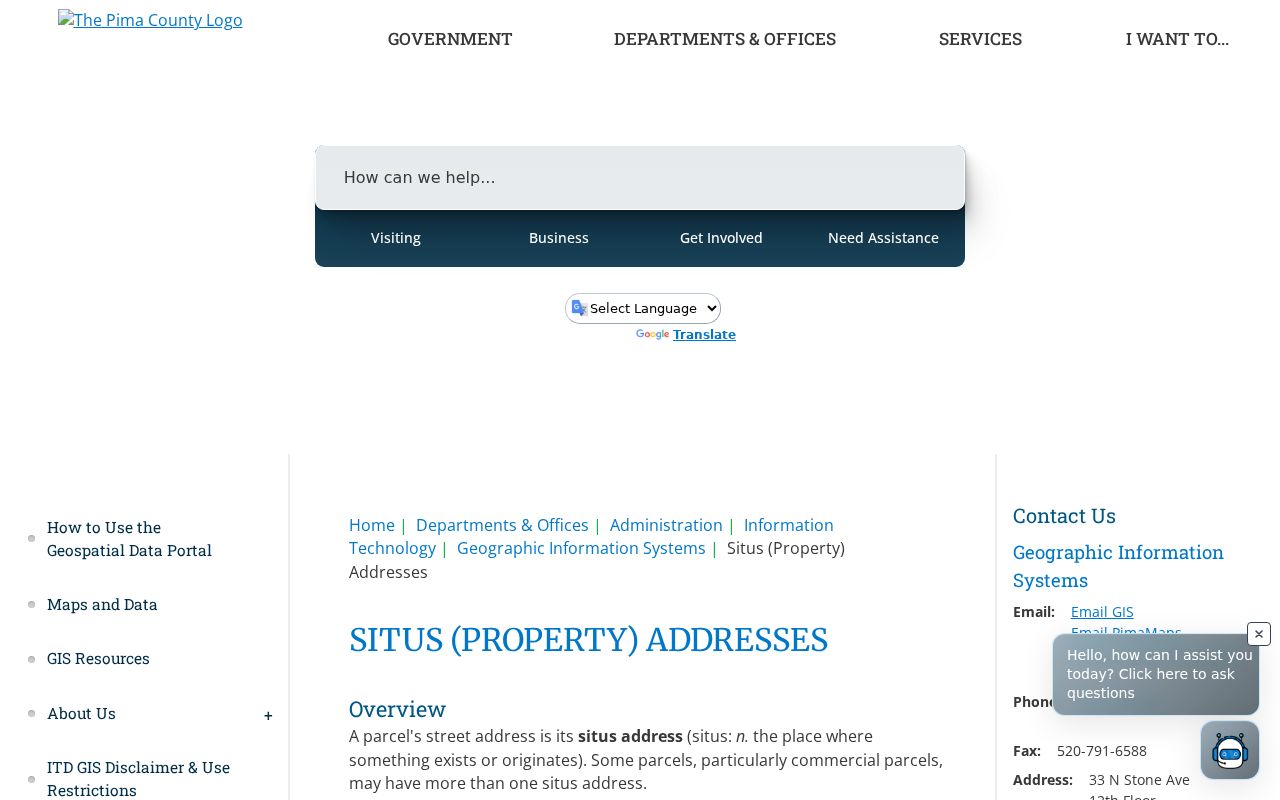
This distinction prevents a common by-address error in Oro Valley: treating the same situs and mailing address as proof of residence, or treating different values as proof that the owner lives elsewhere.
- Parcel
- A mapped unit of land with its own county identifier.
- Situs address
- The physical address assigned to the parcel.
- Plat
- A recorded map that sets subdivision, lot, block, and street geometry.
- Criss-cross directory
- A directory arranged by street and house number instead of only by surname.
Oro Valley Street Record Coverage
No single record is an Oro Valley household roll. The useful street directory is a controlled comparison of address-keyed sets, each with a narrow role. The parcel number, legal description, subdivision, and recorded-document references carry a site between systems even when the displayed address shifts.
| Address record | Official keeper | Street evidence | Access path |
|---|---|---|---|
| Parcel roll | Pima County Assessor | Owner, mailing and situs fields, parcel, values, legal description | Free web search |
| Parcel map | Pima GIS | Physical order, adjacency, plats, imagery, zoning, permits | Free PimaMaps viewer |
| Recorded instrument | Pima County Recorder | Title parties, chronology, document IDs, legal description | Free index and watermark; paid clean or certified copy |
| Tax record | Pima County Treasurer | Taxpayer, mailing address, parcel, tax status | Free search |
| Town permit file | Oro Valley CED | Projects, permits, inspections, licenses, code material | SmartGov and records request |
| Reverse directory | Pima County Public Library | Listed occupant at an address for a covered edition | Main Library or Infoline |
Dates matter in Oro Valley. A deed names title parties at a transfer. A permit documents a project. A reverse entry reflects one publication cycle. None alone proves continuous occupancy.
Oro Valley Street Deed Trail
The Pima County Recorder holds deeds, deeds of trust, releases, liens, plats, and other instruments for Oro Valley property. Recorded-document history begins in 1865, while the span identified as fully indexed online in the Recorder's 2021 announcement was June 1982 forward. Older material not yet indexed remains available on public computers and microfilm or microfiche at Recorder offices.
Start with an Oro Valley Assessor recording reference or search a party and date. The index can show party names, document type, recording date, docket and page, sequence number, and sometimes a GIS parcel link. Read the image. Confirm the legal description, party roles, and chronology. For older work, take every citation to the office. Online watermarked images are free; clean downloads and certified copies can be purchased. Mail requests are also accepted when identifiers are known.
Note: The Recorder asks researchers to try every spelling variation, which matters for names and older street forms in Oro Valley records.
Oro Valley Street Permit Evidence
Address-linked project evidence belongs to the Oro Valley permit and plan-review route. SmartGov manages development projects, building permits, inspections, and business licenses. Accounts and access codes are needed for submissions and active-case management. When a retained file is not exposed, the Town public-record request is the fallback. Community and Economic Development can also help at 520-229-4800.
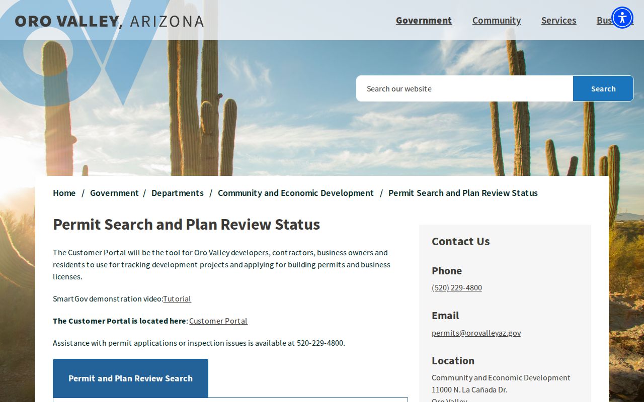
The screen is a route into Oro Valley address evidence, not a full resident list. Pima County historic permit cards add another layer for work generally before about 1998, where a card exists. Their free-form addresses can contain typos, and many parcels have no card. Shorten a street name or relax number and direction matching after a failed query.
The Town's paper code-violation complaint asks for the site address, an owner if known, detailed facts and dates, plus complainant contact and signature fields. Formal complaints can be requested as public records, so use personal details with care. For retained plans, inspection notes, or code material not visible in SmartGov, submit a Town public-record request.
Oro Valley Reverse Street Directories
A criss-cross volume can turn a street and house number into the occupant that publisher listed for that edition. Oro Valley did not have a verified standalone printed directory run. Earlier addresses may instead appear under Tucson, rural Pima County, a subdivision, or a ranch. The Joel D. Valdez Main Library keeps Tucson print and microfilm directories at its third-floor reference desk. Its shelf has gaps, in part because some reverse volumes were rented and later returned to publishers.
PCPL Infoline at 520-791-4010 will perform up to three address or telephone lookups. That is a practical Oro Valley fallback when the needed volume is not online. Treat an entry as dated occupant evidence, not proof of title. Full collection detail belongs in the Oro Valley directory book, while the by-address search uses only the address-facing result.
Oro Valley Street Geography
The Town's official map menu includes address and parcel finding, annexation history, subdivisions, Rancho Vistoso neighborhoods, zoning, street responsibility, and surface-treatment history. These maps help decide which office should hold a permit or planning file. Annexation can move an address from county administration into Town records without changing its physical location or postal ZIP at once.
Large north address numbers fit the wider Tucson and Pima County grid. Names such as La Cañada may also appear without the diacritic. Try both forms, then rely on parcel and plat keys.
For a section-map route, the county's parcel section-map workflow shows how map references connect to a site.
A map citation can outlast a changed postal presentation and keep a by-address search tied to the same land.
Plats Before Oro Valley Houses
An Oro Valley subdivision plat proves that land was divided and mapped. It does not prove a house stood on each lot or that anyone lived there in the plat year. Linda Vista Citrus Tracts No. 2 was platted in 1937, yet only five of its 44 present houses were built before 1965. Oro Valley Estates and Shadow Mountain Estates were platted in 1959, before the Town incorporated.
This local timing changes street research. Check the Assessor's improvement facts, aerial imagery, permits, deeds, and directories before assigning a household to an early lot. A plat is still valuable because its subdivision, lot, and block can bridge a street-name or jurisdiction change. It is a land key, not an occupancy date.
Arizona Voter Street Limits
The Arizona Voter Information Portal is an identity-gated self-service tool. It is not a browseable list of everyone registered along an Oro Valley street. A.R.S. § 16-168 limits voter-list release and use to specified purposes. It also protects fields such as full birth date components, identification numbers, signatures, email, and other sensitive data. Voting history records participation, never a ballot choice.
Do not use a missing Oro Valley result to infer that a person is unregistered or absent. Protected voters and participants in Arizona's Address Confidentiality Program may have suppressed or substitute address data. The limits in A.R.S. § 16-168 mean a lawful voter file cannot be republished as a casual by-street directory.
Oro Valley Street Directory Boundaries
A street directory cannot reveal every occupant. Parcel rolls omit people who hold no title. Deeds track recorded interests, not each move. Permit files name parties connected to a project, not a household. Utility, delivery, and motor-vehicle customer records are not part of these official public address tools. Sealed files and protected addresses also stay outside ordinary access.
The sound result is a dated set of claims: the indexed owner on a parcel card, the parties in a deed image, the applicant in a permit, or the listed occupant in an old directory. Keep inferences labeled and verify with the official custodian before relying on them.
Lawful use. Oro Valley address records support family, property, and civic research. Never use them to stalk, harass, intimidate, or harm anyone.