
Oro Valley Previous-Resident Sources
A backward address search needs sources from several eras. The current assessor roll supplies the parcel key. Recorded instruments identify title parties, while maps, permits, directories, and census schedules help test who may have occupied the site. No source provides a complete roster. The era table shows where each piece belongs and where its limits begin.
| Evidence source | Time covered | Place to obtain it | What it contributes |
|---|---|---|---|
| Recorder indexed documents | June 1982 to present | Pima County Recorder portal | Party chain, dates, identifiers, and deed images |
| Historic recorded documents | 1865 onward | Recorder computers and microfilm or microfiche | Older deeds beyond the full online index |
| Assessor parcel roll | Current; depth varies | Pima County Assessor | Owner, mailing and situs addresses, parcel, and legal description |
| PimaMaps and imagery | Layer-dependent | PimaMaps | Parcel continuity, plat links, and visible change |
| Historic permit cards | Generally before about 1998, incomplete | Pima County card search | Construction and alteration dates where a card survives |
| Federal census | Public through 1950 | NARA and library databases | A decennial household snapshot |
| Tucson-area directories | Known editions from 1881 through 2003 | PCPL, AHS, and digital repositories | Listed people by name or address |
Start with the newest stable identifier, then move backward. A parcel number, subdivision, lot, block, and legal description survive changes in the way a street or postal city is shown. Names alone are too weak when common surnames, trusts, or estates appear.
Start Oro Valley Address Records
The present street address is only the door into the record chain. Search the Pima County Assessor and preserve the parcel number, indexed owner, owner mailing address, situs address, jurisdiction, legal or subdivision description, and available recorded-document references. Situs means the physical parcel location. The owner's mailing address is where tax correspondence goes, so it may point elsewhere and does not prove where anyone lived.
Open the same parcel in PimaMaps. Confirm its shape and follow links to the plat, assessor detail, permits, imagery, and zoning. When old records style La Cañada without the ñ or use a different postal city, the parcel and lot data are the bridge. An annexation can move an address into Town jurisdiction without changing the land or ZIP at once.
Note: Record the date of every search because parcel owners, mailing addresses, map layers, and permit results can change.
Trace Oro Valley Deed Records
The Pima County Recorder says recorded-document history begins in 1865. The fully indexed online span identified in its 2021 online-document announcement starts in June 1982. The web index provides watermarked images where available, while clean downloads and certification are purchase options. Its index works like a card catalog. The actual deed controls when an abstract and image differ.
- Use the assessor reference or party and date to locate the current owner's acquisition deed.
- Read the image and identify the present owner as grantee and the prior owner as grantor.
- Search that prior owner as a grantee to locate the earlier acquisition.
- Validate every link by legal description, lot and block, sequence or docket reference, and chronology.
- At the online cutoff, carry all citations to a Recorder kiosk and continue through microfilm or microfiche.
The Recorder's document copy instructions explain online, in-person, and mail channels. Online users can buy from a result or preview. An office visitor can research at a public kiosk. A mail request goes to P.O. Box 3145, Tucson, AZ 85702-3145, Attn: Public Records, with names, date, identifiers, and a phone number.
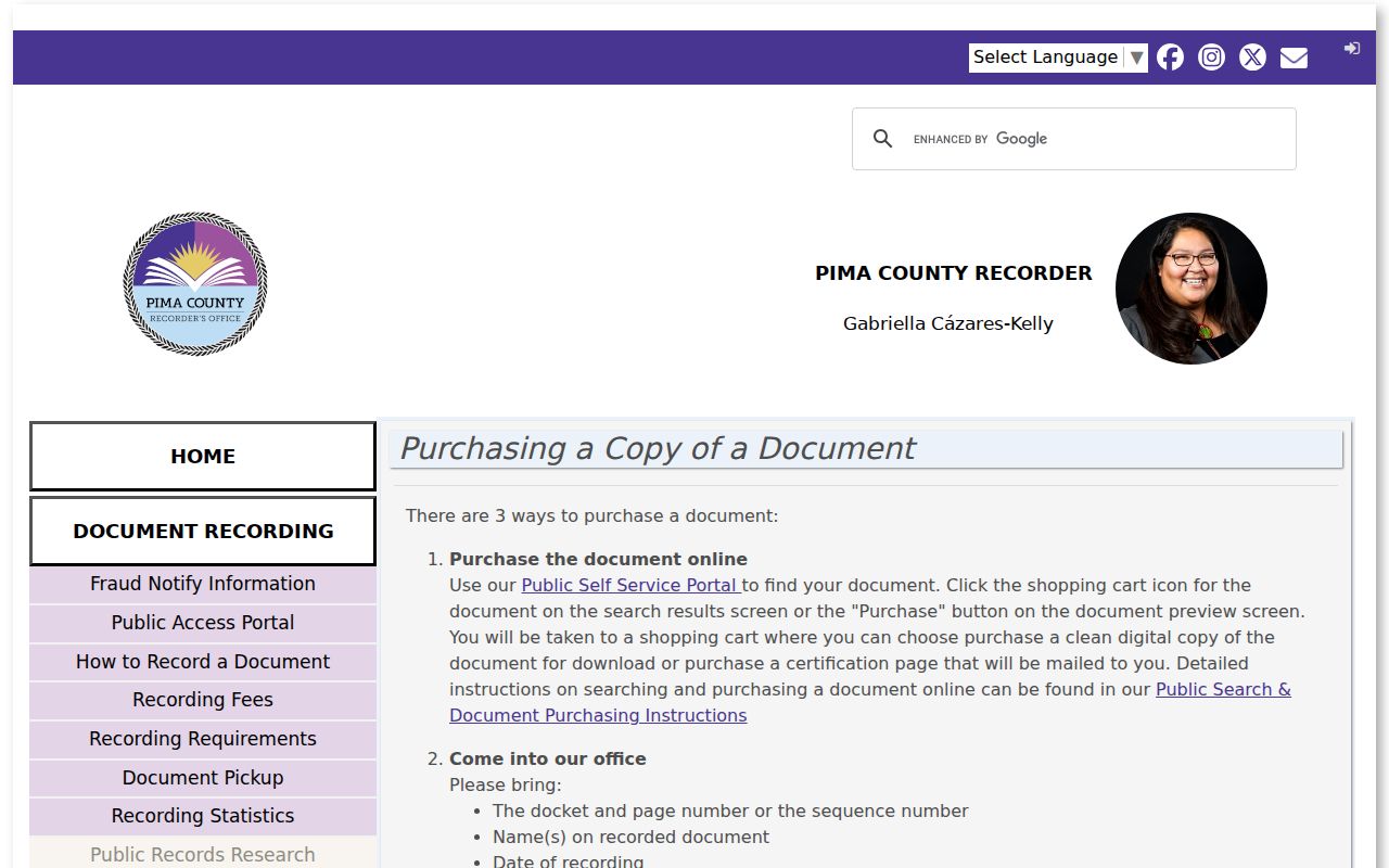
The copy page matters after a deed is identified. Research with free index data and watermarked images first, then order a clean or certified copy only when the project requires it.
- Grantor and grantee
- The grantor transfers an interest; the grantee receives it.
- Chain of title
- The linked sequence of recorded transfers affecting the same land.
- Legal description
- The land description, often subdivision, lot, block, or survey-based, that outlasts a street label.
- Sequence number
- A Recorder identifier used to retrieve one recorded instrument.
Cross Oro Valley's Records Cutoff
An empty web result before June 1982 does not show that no deed exists. Bring docket and page, book and page, party spellings, dates, sequence numbers, and the legal description to a Pima County Recorder office. Unindexed material remains available on public computers and microfilm or microfiche. The main office at 240 N. Stone Avenue handles document research Monday through Friday, 8 a.m. to 5 p.m. The Eastside office at 6920 E. Broadway Boulevard, Suite D, has limited services and shorter hours.
Pima's official courthouse and records history supplies context for this long county trail.
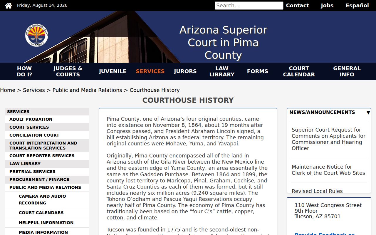
Pima County was created in 1864, while Oro Valley incorporated in 1974. The gap explains why a town-only search fails for most early title, court, map, and directory evidence.
Oro Valley Records Before Pima
The regional property trail reaches behind county organization. A military-ordered Tucson claims register from 1862-1864 required owners to describe property and give an abstract of title. The 1862 Fergusson map is described as Tucson's first map. Yet the register and map were not keyed to each other, so an exact parcel can be hard to reconstruct.
Later sources add firmer links. Pima deed books reach into the 1860s and principally begin in 1872, while Tucson block books from the late 1890s identify owners, blocks, lots, and improvements. These sources fit regional history, but they should not be forced onto a later Oro Valley subdivision without a supported land chain.
Date Oro Valley Permit Records
A title transfer does not say when a structure was built or altered. Pima County's historic permit cards are generally for work before about 1998 and are stored by free-form property address. Many parcels have no card, and older entries can contain nonstandard forms or typing errors. Broaden a failed query by shortening the street name or relaxing number and direction matching.
The historic Pima permit-card search illustrates this address-based source.
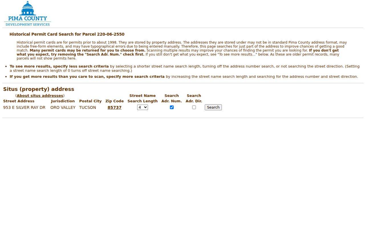
A surviving card can date construction or later work, but county cards are not complete Town permit coverage. For post-incorporation files, check Oro Valley SmartGov and use the Town public-record request when retained plans or records are not exposed online.
Test Oro Valley Plat Records
A subdivision plat establishes land layout, not a home or resident. Linda Vista Citrus Tracts No. 2 was platted in 1937, yet only five of its 44 present houses were built before 1965. Oro Valley Estates was platted in 1959, with many homes built before incorporation. The date questions are separate: when was the tract platted, when did the structure exist, when was title transferred, and when was a household listed?
Use the plat with assessor improvement data, aerial imagery, permits, and city directories. Campo Bello may also call for federal land or patent evidence because its postwar plat came from an earlier homestead. Rancho Vistoso requires close attention to later development and annexation. This research guards against placing past residents in a house that did not yet stand.
Pair Oro Valley Residents and Owners
A deed chain traces titleholders, not continuous occupancy. Tucson-area city and reverse directories can associate listed adults with an address, while census schedules can show a household at a decennial point. Because no independent printed Oro Valley directory run has been verified, search rural Pima County, Tucson, ranch, and subdivision terms. The full collection geography and entry marks are documented on the Oro Valley city directory page.
- Choose a year when the structure is known to have existed.
- Search that edition by surname, then use a reverse section when one survives.
- Transcribe every person and the exact address, including status marks such as householder or resident.
- Pair the nearest directory evidence with public federal census schedules through 1950.
- Compare the household result to the deed owner without assuming they must match.
PCPL Infoline at 520-791-4010 will perform up to three address or phone lookups. This is useful when the needed reverse volume is not online. Some historical reverse-directory gaps exist because publishers rented the books and took them back, not because no address index was ever compiled.
Lawful use. Research previous residents for family history, house history, heirs, or personal curiosity. Never use an address trail to harass, stalk, or harm a living person.
Search Oro Valley Resident Archives
The Oro Valley Historical Society collections policy describes holdings that began in 2005 with George and Mathilda Pusch family records and photographs.
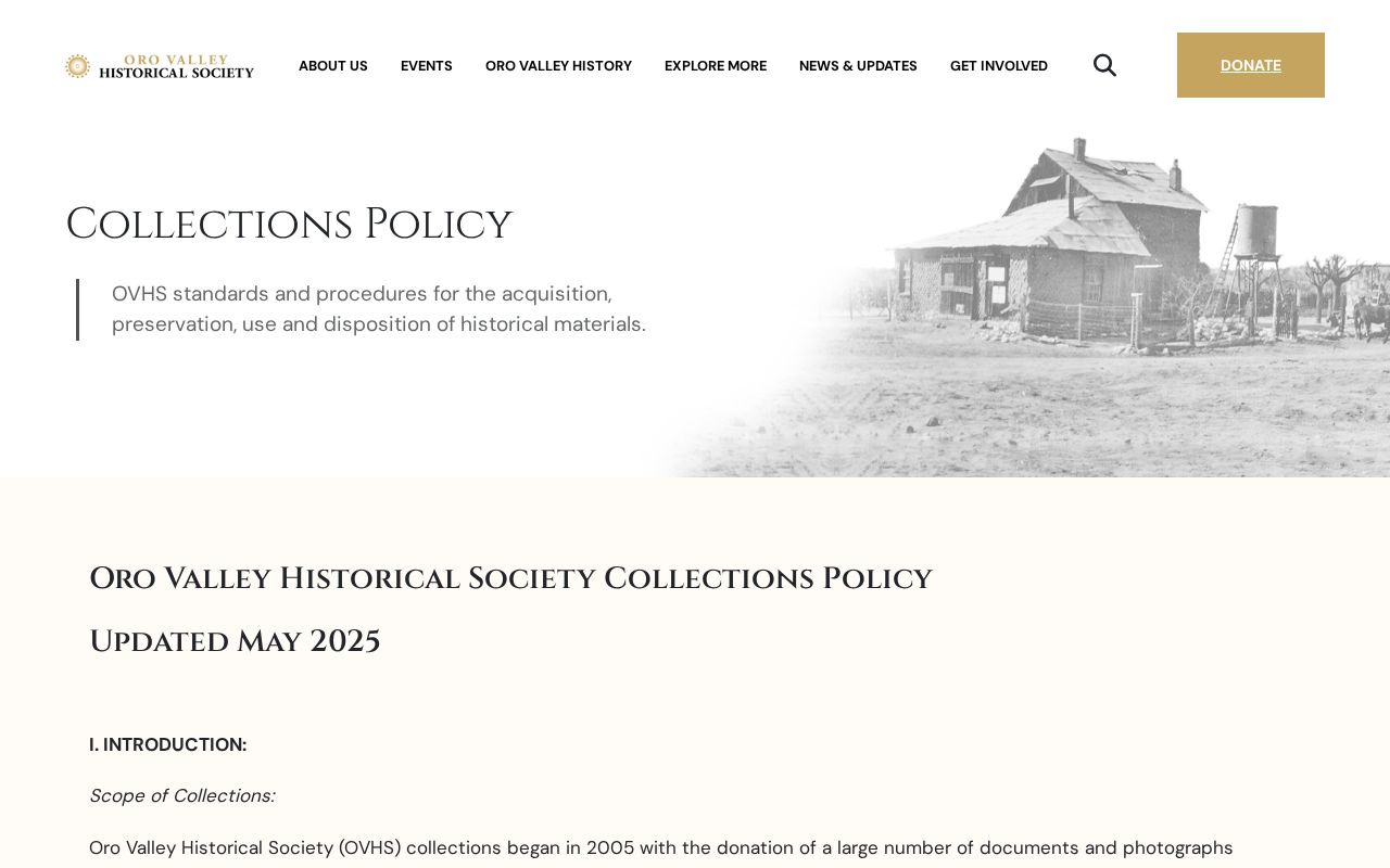
The collection now includes manuscripts, newspapers, books, images, audiovisual and electronic material, art, and artifacts tied to greater Oro Valley. Research access is permitted by arrangement and committee approval. Copies are preferred over handling originals, and a publication must credit the society.
PCPL local history, Arizona Historical Society archives, and University of Arizona Special Collections extend the search. Their biography files, oral histories, photographs, maps, and finding aids can connect names to a ranch, community, or event. Such material adds context. It must still be tested against the dated parcel and household records.
Close Oro Valley Resident Trails
Probate and obituaries help explain a chain that ends with an estate, death, or heir. Pima County Superior Court files may document an estate proceeding, but probate information can be absent from the statewide public court index. Contact the Clerk's Public Records Services before a visit to confirm whether the file can be viewed or purchased.
For newspapers, the Arizona Daily Star via PCPL and NewsBank is searchable from 1991, and the Arizona Digital Newspaper Program covers state papers from 1859 through 1922. The AHS Ayres Newspaper Index contains more than 140,000 cross-referenced entries and about 300 subject files for 1859-1911. Its citation leads to the actual article on microfilm.
Recent birth and death certificates remain restricted. Arizona Genealogy opens transferred birth records after 75 years and death records after 50 years. Treat a protected, missing, or unlisted person as an unresolved gap, not proof that no one lived at the address.
Check Oro Valley Resident Maps
No Sanborn atlas titled for Oro Valley was found. The Library of Congress has a free 1901 Tucson atlas, and other Tucson editions are documented, but their sheets apply only within their mapped extent. They should not be stretched over later Oro Valley subdivisions. Plats, assessor records, aerial photos, permits, and annexation maps are safer for most local house histories.
Keep a source log that separates fact from inference. Record the parcel and legal description, document number, edition or census year, page, exact name, and search date. A reliable previous-resident trail shows which record supports each owner, listed occupant, structure date, and final event.