
Oro Valley ZIP Coverage
Four postal zones are commonly tied to the Oro Valley area. Two form the core, while two cover broad fringe territory that also reaches Tucson-addressed or unincorporated Pima County parcels. The Oro Valley ZIP code directory therefore treats each zone as a search area, not a Town district. USPS does not publish a simple official neighborhood-to-station list for this whole area, so the table states delivery identity cautiously and sends a specific address to the official lookup.
| ZIP | Local area served | Postal identity | Boundary caution |
|---|---|---|---|
| 85737 | Central Oro Valley, Town Hall and La Cañada corridor, Oracle and First Avenue areas, southern Rancho Vistoso | Oro Valley street delivery and box services, depending on address | Core zone, though its edge does not match the Town line everywhere |
| 85755 | Northern Oro Valley, Rancho Vistoso and the north Oracle corridor | Oro Valley postal identity | Extends into adjoining northern Pima County development |
| 85704 | Southern Oro Valley vicinity and Casas Adobes area | Commonly Tucson postal identity | Includes substantial territory outside incorporated Oro Valley |
| 85742 | Western and northwestern fringe west of central Oro Valley | Commonly Tucson postal identity | Large zone extending far beyond Town limits |
The strongest rule is simple. Never turn a ZIP total into an Oro Valley resident count without a Town-boundary filter. Even the core ZIPs can cross a jurisdiction edge. The Assessor's situs jurisdiction and the Town or PimaMaps boundary layer resolve that question at parcel scale.
Core Oro Valley ZIP Codes
85737 covers much of central Oro Valley. Town Hall at the La Cañada corridor, established subdivisions near Oracle Road and First Avenue, and the southern Rancho Vistoso area give it a strong local identity. Still, a ZIP code is built for mail delivery. A parcel near its edge needs a jurisdiction check before a Town permit or public-record request is sent.
85755 covers northern Oro Valley, Rancho Vistoso, and development along the north Oracle corridor. Its extent also reaches beyond some municipal boundaries. Newer subdivision plats, Assessor situs data, and the municipal layer are useful there because a postal description can stay stable while annexation or development changes which office holds permits.
The two core codes do not divide Oro Valley into two legal districts. They overlap a town that grew by subdivision and annexation. Rancho Vistoso is an especially useful place keyword, yet the parcel remains the unit that links an address to its legal description and public custodian.
Fringe Oro Valley ZIP Checks
85704 is the sharpest postal-city mismatch. It covers parts of the southern Oro Valley vicinity, but much of it carries a Tucson postal identity or lies in Casas Adobes and unincorporated county territory. A listing described informally as “Oro Valley area” may be outside the Town. That affects which planning office, permit system, and code records apply.
85742 reaches the western and northwestern fringe and extends far beyond Oro Valley. A ZIP-only search there can sweep in many unrelated Pima County parcels. Narrow by full address, then open the Assessor result and confirm its jurisdiction. The Town's address and boundary maps can add context, but the parcel card is the first records check.
Boundary check. An Oro Valley-area postal label does not prove Town jurisdiction. Confirm the parcel polygon before choosing a permit or records custodian.
Note: The research found no official PO-box-only or unique institutional ZIP assigned specifically to Oro Valley, so none should be inferred.
USPS ZIP Lookup for Oro Valley
The USPS ZIP Code Lookup is the right source for mail routing. Enter a complete street address with city and state or ZIP context. USPS returns a standardized delivery address and ZIP+4. It does not report municipal jurisdiction, parcel ownership, or who lives at the address.
| USPS input or result | How it functions | What it does not establish |
|---|---|---|
| Street address | Identifies one delivery point | Town boundary |
| City and state or ZIP | Supplies routing context | Parcel jurisdiction |
| Standardized address | Shows the USPS-approved mail form | Property owner or occupant |
| ZIP+4 | Narrows the delivery segment | A public resident list |
The official USPS screen is the assigned lead image for this ZIP code directory.
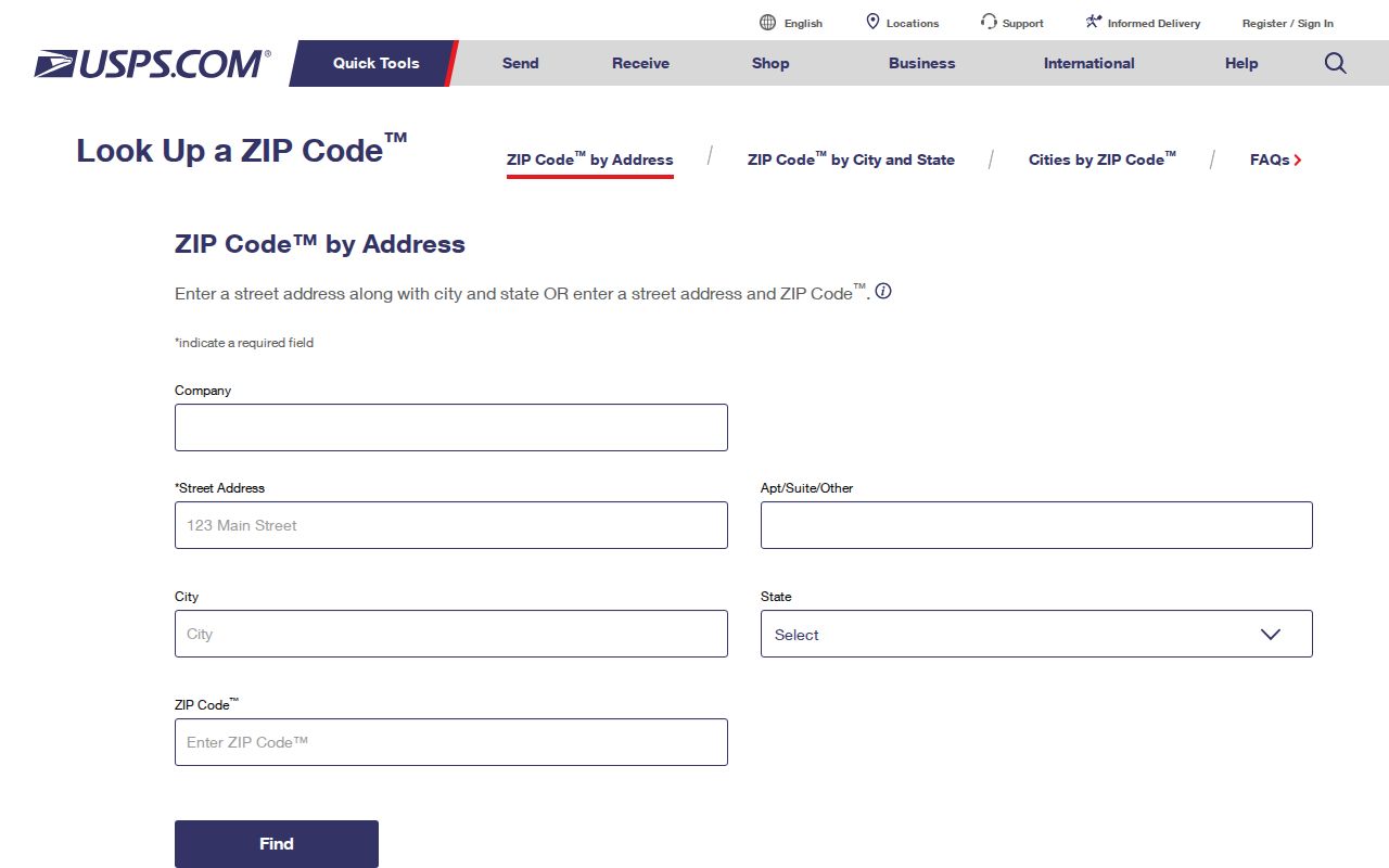
The returned address should be copied exactly into the next search. Keep the diacritic issue in mind: La Cañada may appear without the ñ in some databases. Testing both forms can resolve a false miss.
Oro Valley Parcel ZIP Fields
The Pima County Assessor Parcel Search accepts a parcel, address, or owner name. Its parcel detail can show situs, jurisdiction, postal city and ZIP, legal or subdivision description, indexed owner, and owner mailing address. Those fields serve different purposes. Situs is the physical parcel address. The owner mailing address is where tax mail goes. Neither field alone proves occupancy.
The current Assessor search screen appears in the assigned Oro Valley ZIP code image.

The portal is best used one address at a time. A ZIP shown in results is a way to compare records, not a dependable townwide resident filter. Preserve the parcel number, since it stays useful when a street suffix, postal city, or displayed address form changes.
- ZIP and ZIP+4
- A five-digit delivery area and a four-digit add-on that narrows the delivery segment.
- PO-box ZIP
- A postal code used mainly or only for post-office boxes. None was verified as an Oro Valley-only code.
- Unique ZIP
- A code assigned to one high-volume organization. No Oro Valley example was verified.
- Carrier route
- A group of addresses served along one postal delivery route, not a municipal boundary.
Finding Oro Valley Residents by ZIP
Official portals do not offer a single browseable resident roll for a ZIP. A ZIP code directory instead narrows a lawful search from a delivery area to a known address, parcel, or person. The Assessor can connect an address with an indexed owner. PimaMaps adds geography. The Recorder works from party names and land references, while Arizona's voter portal is an identity-gated self-lookup rather than a ZIP-wide people browser.
- Verify the full delivery address and ZIP+4 with USPS. Keep the standardized form for later portal searches.
- Search the address in the Assessor. Record situs ZIP, postal city, jurisdiction, subdivision, and parcel number as separate fields.
- Open the parcel in PimaMaps. Turn on municipal boundaries and inspect the selected parcel instead of relying on a nearby label.
- Route the next request by jurisdiction. Oro Valley parcels use the Town channel; unincorporated parcels use Pima County services.
- Use an owner name only as a lead. Verify it against a deed or other source, since a parcel owner is not a complete household roster.
Once the result has narrowed to a named road, the Oro Valley street directory handles parcel-by-parcel street research. Keeping the ZIP stage brief avoids mixing postal geography with the address-record chain.
Oro Valley Annexation and ZIPs
Annexation can change the office that controls a parcel without changing its ZIP at once. Oro Valley incorporated in 1974 and expanded beyond its original small footprint. A parcel may therefore move from county-only planning and permit records into Town systems while its USPS delivery identity remains familiar. The Census Bureau's Oro Valley QuickFacts supplies townwide context, not a household list or a count for each ZIP.
The Pima geospatial portal instructions support the map side of that check.
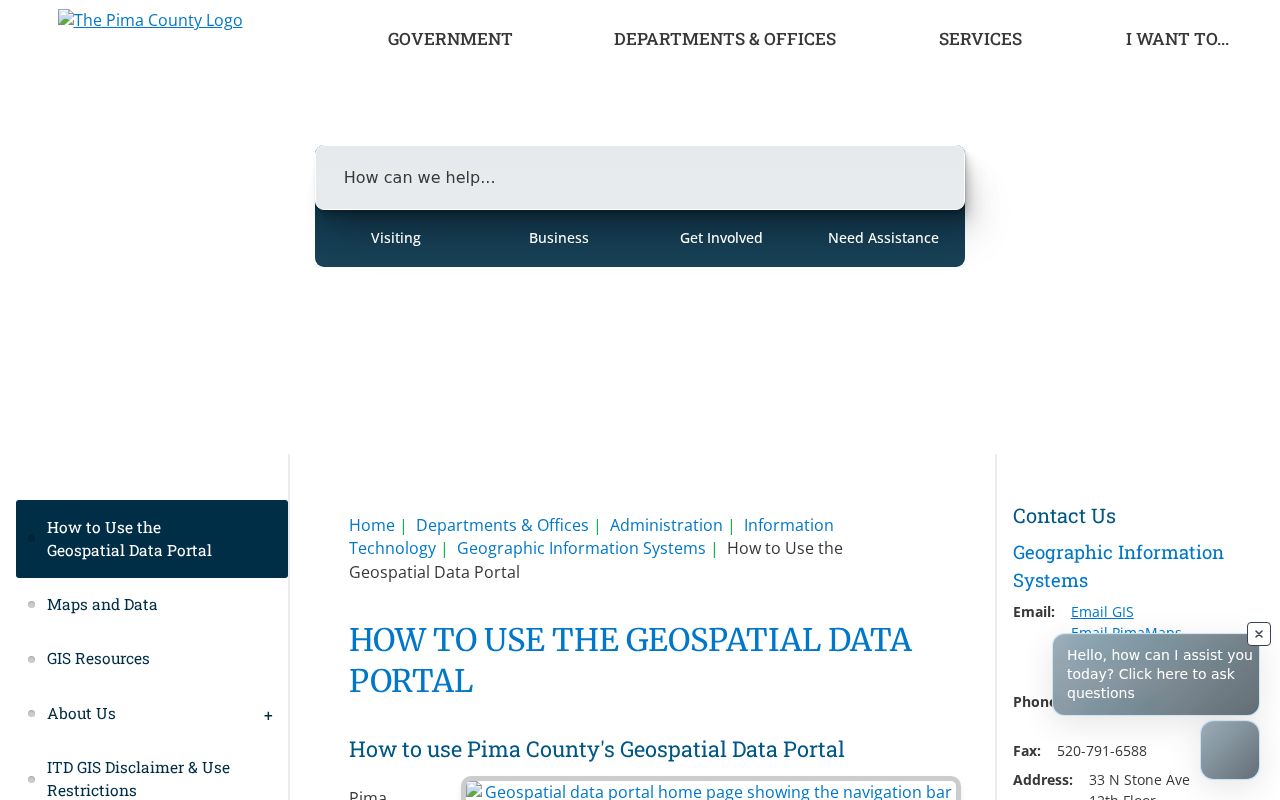
The image connects ZIP research to official spatial data. In PimaMaps, choose the address result, zoom to the parcel, and inspect boundary layers. Scale matters because some layers display only at a closer view.
The Town's Community and Economic Development Department manages addressing through development review and permitting inside Oro Valley. Its official department page is also an assigned image source.
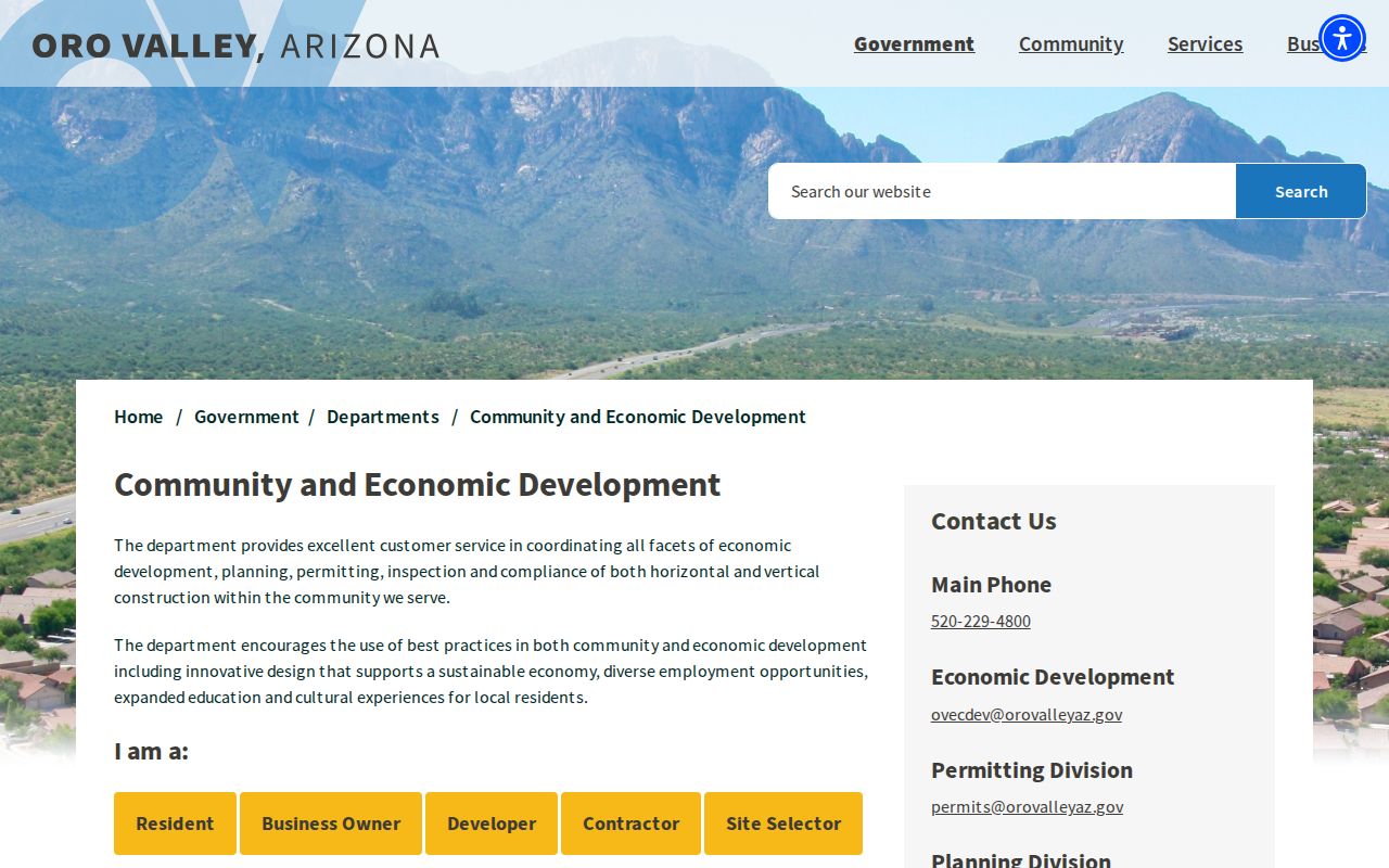
That Town channel handles Oro Valley permit and project records. An unincorporated fringe parcel belongs with Pima County Development Services instead. The map result decides the route.
Historic Oro Valley Without ZIPs
ZIP Codes began nationally in 1963, and Oro Valley did not incorporate until 1974. Earlier households cannot be found by pushing a modern ZIP backward. Search Tucson-area directories by surname and address, then try rural Pima County, a subdivision, ranch, or road name. Steam Pump Ranch, Pusch, Campo Bello, Suffolk Hills, and Rancho Vistoso can be stronger historical keys than the modern town label.
A legal description and parcel number bridge past and present more reliably than a postal code. Subdivision plats, deeds, Assessor data, aerial imagery, and annexation maps can show whether an address was county land at the time. A plat date is also not an occupancy date. Linda Vista Citrus Tracts No. 2 was platted in 1937, yet only five of its present houses were built before 1965.
Note: No official master list of renamed Oro Valley streets or one townwide renumbering year was found, so parcel and lot keys should lead.
Oro Valley ZIP Boundaries and Limits
The final ZIP code boundary check is about purpose. USPS answers how mail is routed. The Assessor answers which parcel an address represents. PimaMaps places that parcel against the Town line. The Recorder links people to recorded instruments, while permit offices preserve address-based development files. Each source must stay within its role.
A ZIP directory cannot show every resident. Owners may use another mailing address, an entity may hold title, and non-owner residents or family members may not appear in parcel data. Arizona's voter self-lookup cannot be turned into a casual ZIP roster. Protected and confidential addresses must remain suppressed. A missing public match is not proof that a person does not live in Oro Valley.
Use the narrowest fact. Confirm mail, parcel, and jurisdiction in that order. Do not infer identity or residence from a shared ZIP alone.