
Oro Valley Neighbors by Source
Each official source answers a different block question. PimaMaps supplies the shape and order of parcels. The Assessor adds the indexed owner and tax-mail address for a selected parcel. The Recorder adds dated title parties, while Town files can preserve project outreach and association contacts. These facts can help with civic questions, local history, and a respectful introduction. They cannot identify every person nearby.
| Block source | What it shows around an address | Public route |
|---|---|---|
| PimaMaps | Adjacent parcels, map cards, zoning, plats, permits, imagery, and districts | Free interactive map |
| Pima County Assessor | Indexed owner, mailing address, situs, parcel, and legal description | Free linked parcel detail |
| Pima County Treasurer | Taxpayer and mailing-address corroboration tied to a parcel | Free web search |
| Pima County Recorder | Transfer chronology and title parties for each selected lot | Free index and watermark; copy options |
| Town map inventory | Address finder, subdivisions, annexation, Rancho Vistoso areas, and streets | Free Town maps |
| Planning outreach files | Dated owner-mailing and association notice contacts for a specific case | Case file or records request |
Record the Oro Valley source and access date. A parcel card may be current, while a planning mailing list is a snapshot from one project date.
Map Oro Valley Neighbor Parcels
The adjacent-parcel method follows the map, not a guessed radius. Search the subject address in PimaMaps, select the result, and zoom until boundaries display. Save the subject parcel number. Then click each parcel that shares a boundary and each lot directly across the street. Multi-address parcels and corner lots deserve a separate check.
- Enter an address without punctuation, then choose the matching result in the left pane.
- Click the parcel and save its parcel ID, subdivision, lot, and block references.
- Open every touching and across-street parcel in turn. Use More Information for Assessor details.
- Toggle plats, imagery, zoning, and permit layers for physical and civic context.
- Log owner and mailing data as property evidence, not a claim about all occupants.
No inspected Oro Valley source documented a public radius-based owner export. Manual map browsing is slower, but it keeps the scope visible and avoids sweeping in distant parcels.
Read Oro Valley Neighbor Parcels
A linked Assessor card may show owner, mailing address, situs, jurisdiction, postal city and ZIP, legal or subdivision description, values, characteristics, imagery, and recording links. The situs is the parcel's physical location. The mailing address is where tax correspondence goes. Matching values can support an owner-occupancy clue, but they do not prove it. Different values do not prove the owner lives at the mailing destination.
Parcel lines are also more stable than street presentation. Keep the parcel ID and lot or block reference when a suffix, number, postal city, or jurisdiction label differs. For ownership over time, read Recorder images and match the legal description. For a full named-road chain, the Oro Valley street directory carries the work beyond the immediate block.
Note: County parcel systems identify titled owners, not all Oro Valley neighbors who occupy a home or receive mail there.
Oro Valley Planning Notice Snapshots
Planning outreach files offer an unusual local block view. A recent official Town plan for a 21-lot project named five community associations within 600 feet: Rivers Edge Community Association, Rivers Edge HOA, Rivers Edge Lots 70-102 Community Association, Pusch Ridge Vista II, and Catalina Ridge Community Association. A project file may also contain dated owner mailing contacts used for notice.
That Oro Valley list belongs to one case and date. It is not a permanent block directory, and the 600-foot boundary should not be generalized to other projects. Check the current Town case documents or request the retained file when the public page no longer exposes it. The Town map menu can then confirm parcels, subdivisions, and municipal jurisdiction around the project.
A 2002 Town trails report described a landscape of more than 75 associations and named groups such as Copper Creek, Coyote Ridge, Monterra Hills, and several Vistoso organizations. That older inventory is useful history, not a current roster. Confirm the association that serves a parcel through a present Town or recorded source.
Oro Valley Neighborhood Watch
Oro Valley Neighborhood Watch is a civic safety network, not a public roster of nearby residents. The Police Department's Community Resources Unit helps groups organize and offers a manual, startup guide, registration form, signage details, attendance sheet, and block-party checklist. Contact the unit at 520-229-5080 or CRU@orovalleyaz.gov.
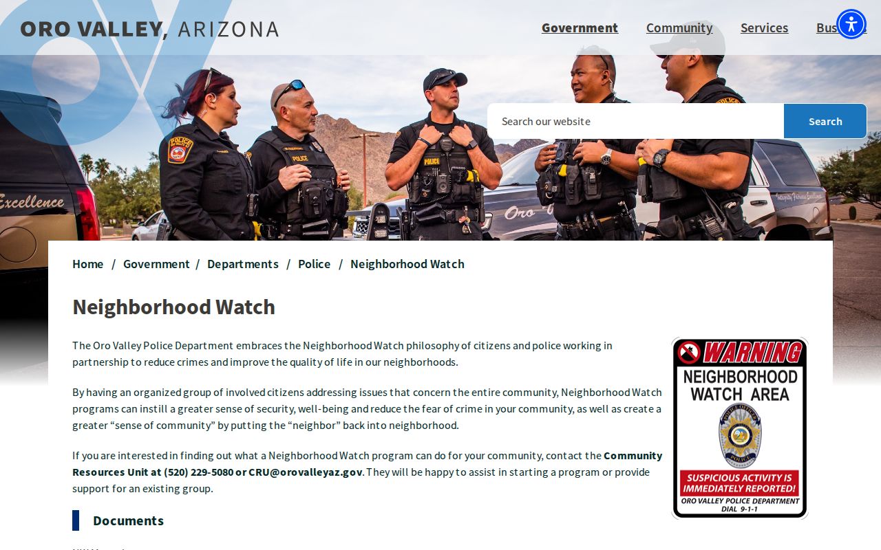
The official materials help residents form a group while keeping participation in its proper setting. An attendance sheet should not be treated as a public people-search database.
Oro Valley Community Contacts
Public organizational contacts can identify who handles a community question without exposing a private member list. The Town lists the Vistoso Community Association, and it offers Ask Oro Valley for inquiries from community groups and associations. These channels support a block issue, planning question, or referral to the right office.
Vistoso Community Association
1171 E. Rancho Vistoso Blvd. #111, Oro Valley, AZ 85755
520-354-2729
AskVCA@RanchoVistosoHOA.com
Ask Oro Valley
Town Manager's Office community inquiry route
520-229-4711
ASK@orovalleyaz.gov
Community Resources Unit
Neighborhood Watch organization and support
520-229-5080
CRU@orovalleyaz.gov
The Town's Vistoso association listing publishes the official contact layer.
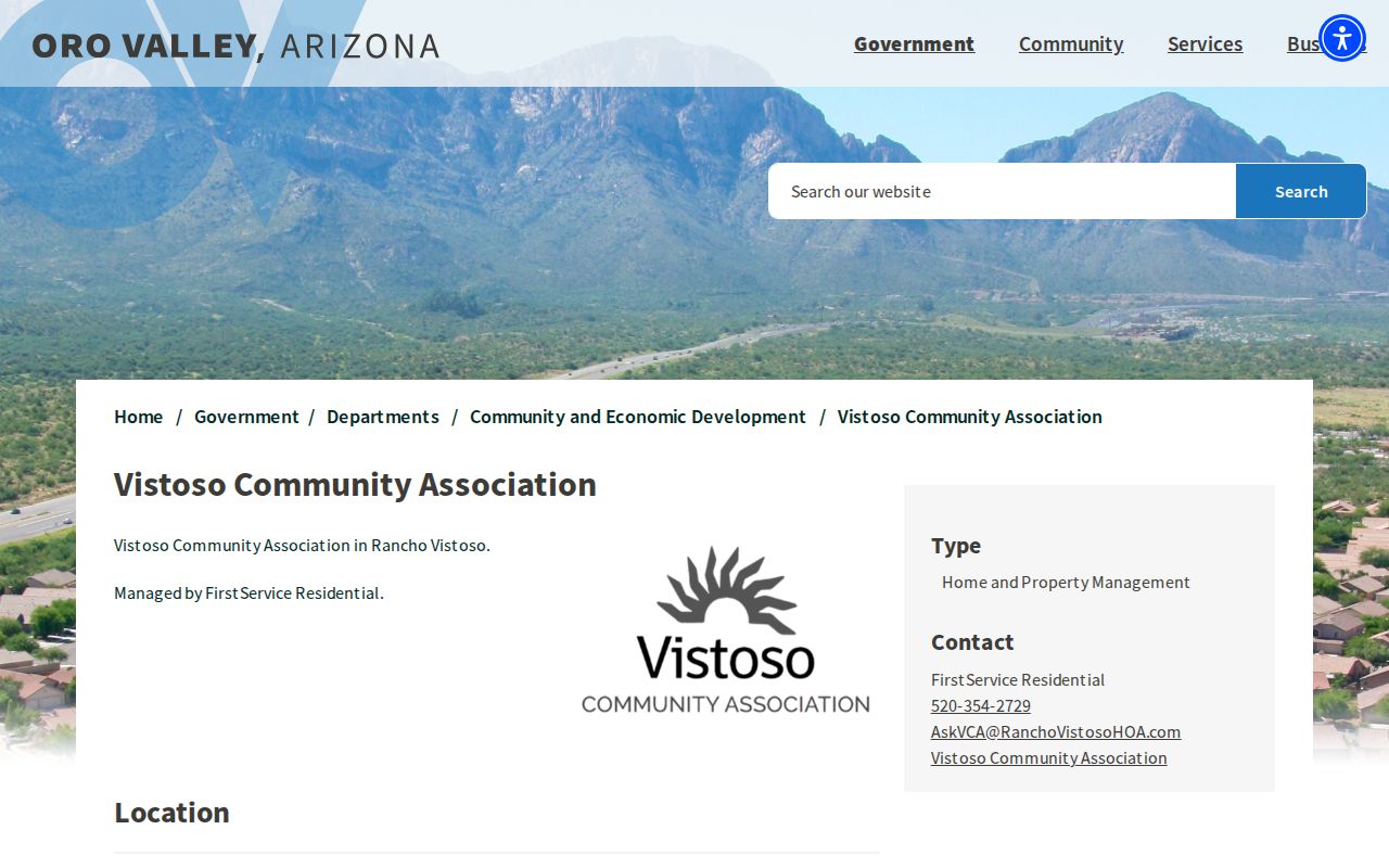
The image confirms how the Town presents the association as a public organization, not as a resident-membership file.
Ask Oro Valley is the general Town route for community and association questions.
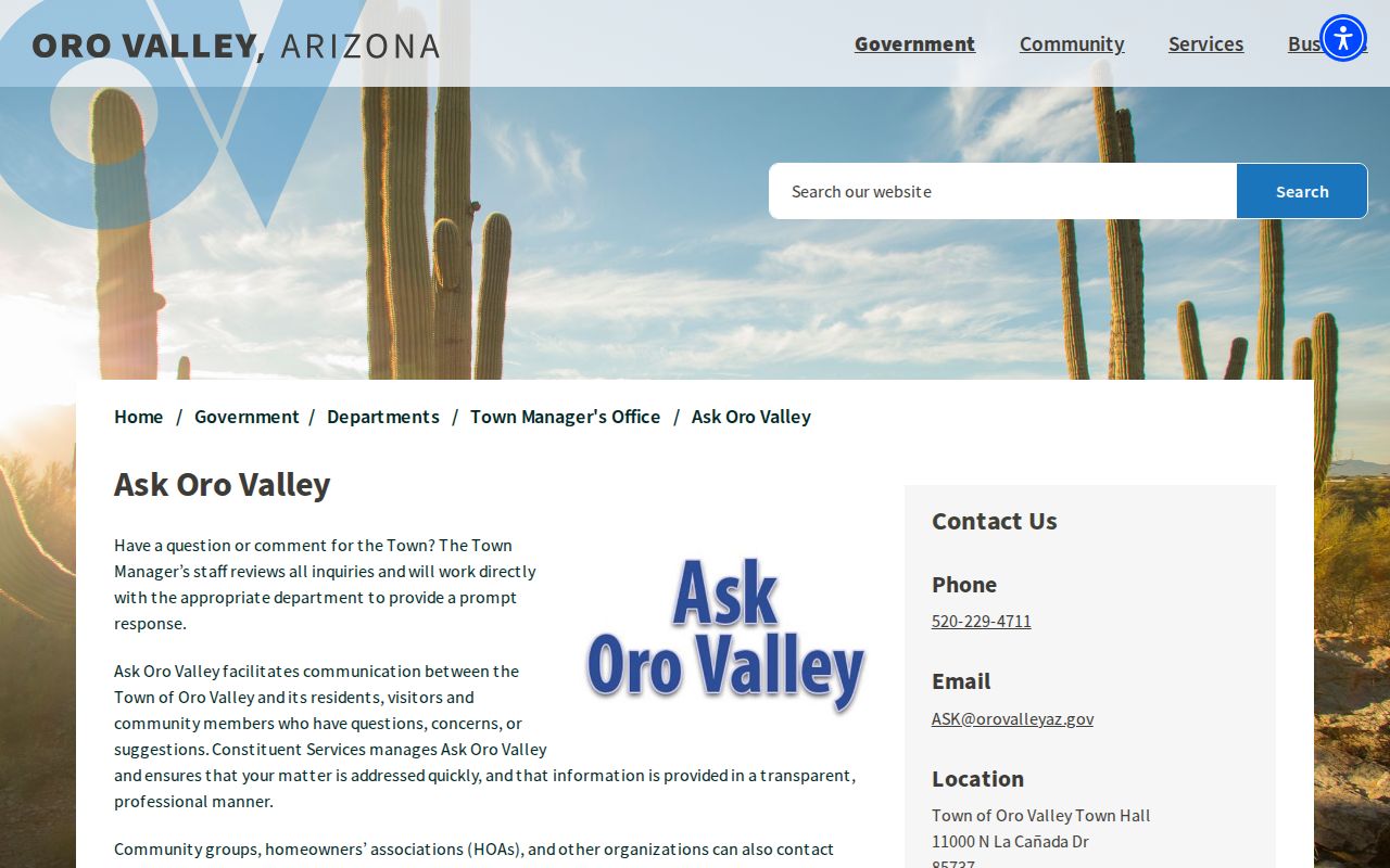
This route is useful when a block concern spans departments or the correct keeper is unclear.
Oro Valley Civic Connections
The Greater Oro Valley Chamber directory supports keyword and A to Z browsing. Public entries can show an organization name, category, business address, phone, website, and description. Community listings include civic and fraternal groups, but they do not reveal private membership or prove that a named person resides near the listed address.
Use the directory to find an organization or public contact. Do not convert a business address into a claim about a member's home.
Town boards and commissions are another public civic layer. The board and commission application page describes participation and includes the Historic Preservation Commission.
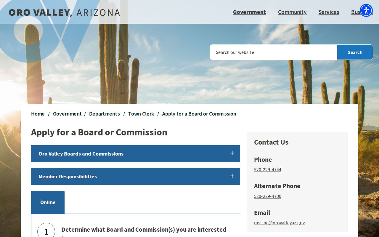
Board records document public service and Town business. They are not a substitute for parcel-based block research.
Arizona Voter Block Limits
Arizona's public-facing voter portal is for individual, identity-gated registration and election information. It is not a tool for browsing Oro Valley neighbors by street. A.R.S. § 16-168 restricts full voter-list use to political or party activity, campaigns and elections, redistricting, or another purpose authorized by law. Broad online posting and commercial use are barred.
Even an authorized list omits protected fields. Email is never released, and identification numbers, signatures, full birth details, and several other sensitive facts are excluded from ordinary reproduction. Voting history means participation, not ballot choice. A protected or substitute address also cannot be used to infer that a person does not live in Oro Valley.
Oro Valley Neighbor Tool Differences
Official property systems and commercial neighbor tools are built from different processes. A county record has a named custodian, a defined field, and a correction path. A commercial result may combine public files, marketing data, and inferred links. It can merge people with similar names, carry an old address forward, or omit someone who sought suppression.
| Point of comparison | Official roll or file | Commercial category |
|---|---|---|
| Source | Named public custodian | Mixed public, licensed, and inferred inputs |
| Meaning | Narrow field such as owner, parcel, or title party | Compiled identity and address association |
| Timing | Dated record or current agency display | Update cycle may be unclear |
| Correction | Ask the office holding the record | Use the provider's own suppression or correction route |
For an Oro Valley parcel fact, return to Pima County. For a planning contact, return to the Town case file. The more important the fact, the closer it should sit to the source document.
Privacy Around Oro Valley Neighbors
A block map is not a household roster. It omits many occupants and does not show family ties. An association roster stays under association control merely because the group exists. Neighborhood Watch participation is not a public search index. Utility, delivery, and motor-vehicle customer data are outside these official block tools. Court and other records may also be sealed or redacted.
Arizona's Address Confidentiality Program gives qualifying protected people a substitute address and mail-forwarding channel. A substitute or missing address must never be treated as proof that the person is absent from Oro Valley. Check only the minimum facts needed for a lawful neighborhood question, keep the date and source with each result, and do not publish a block worksheet as a resident list.
Arizona's Address Confidentiality Program supplies a substitute address and mail forwarding to qualifying protected people. A substitute value is not a clue to pursue. The Arizona DPS offender registry is a separate public-safety tool with statutory warnings, not a general neighbor roster. Use the least data needed, keep private contacts private, and make contact through a public association or Town channel when that will answer the civic question.
Lawful use. Research Oro Valley neighbors for respectful civic, history, and safety aims. Never watch, stalk, harass, intimidate, or harm a person.